 RIVER G 3
Subtotal: $7,000

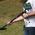

01
3D Imaging System
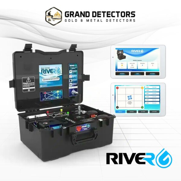
Displays water and rock locations with density, salinity and depth data in an analytical image.
Grand Detectors Company for gold, metal and groundwater detection devices
Grand Detectors Company for gold, metal and groundwater detection devices
Menu
Contact Us
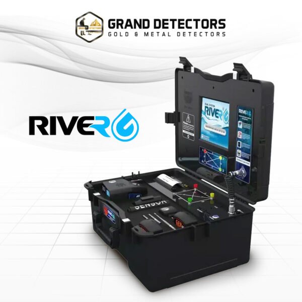
You can pay by credit card or bank transfer. For more information and the payment methods available in your country, please contact us.
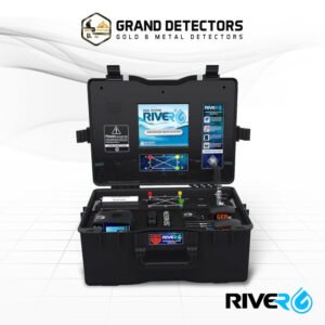
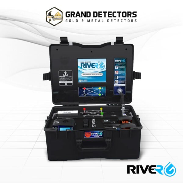
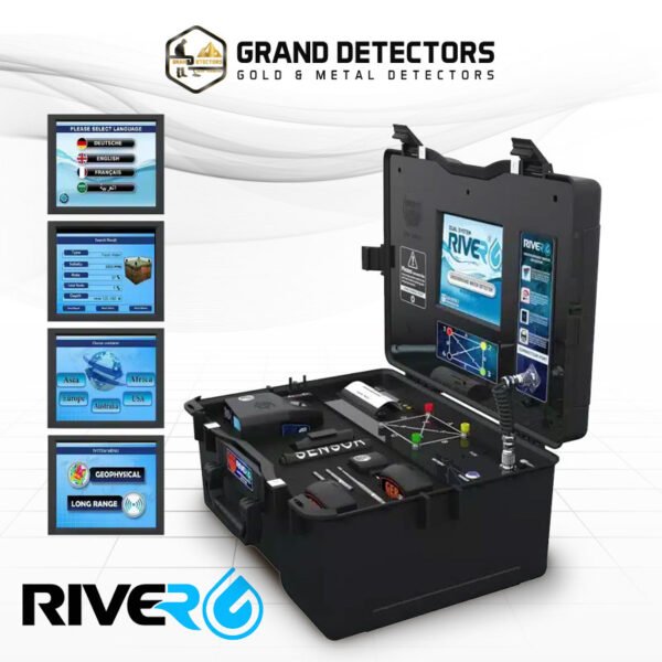
RIVER G 3 is designed for groundwater, wells and underground springs. This page presents its operating systems, field benefits and specifications clearly without treating general depth or range claims as identical for every target and soil condition.
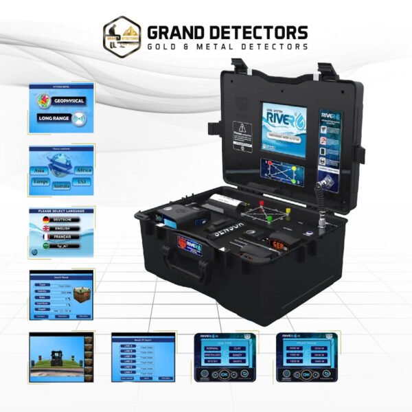
Displays water and rock locations with density, salinity and depth data in an analytical image.
Measures ground properties and provides water type, density, salinity and depth details.
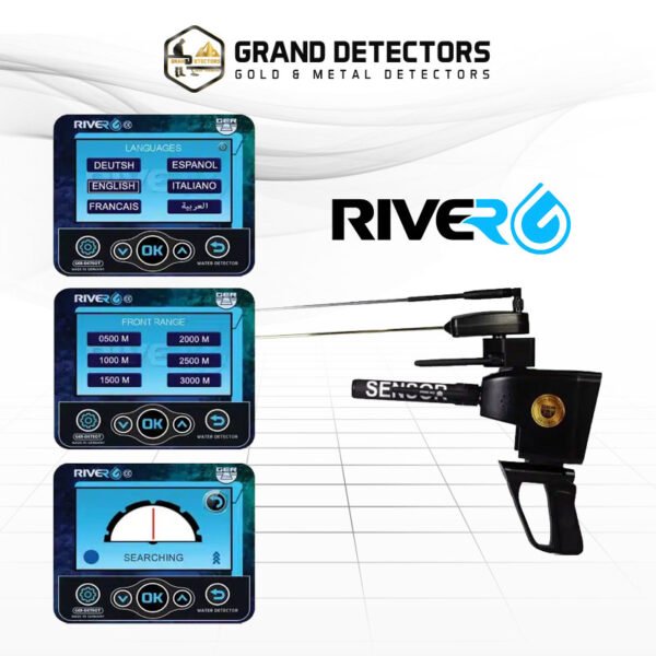
Locates water-source direction across wide areas and helps narrow the target zone.
| Specification | Details |
|---|---|
| Number of Search Systems | 3 systems |
| Maximum Depth | Up to 1500 m |
| Forward Range | Up to 3000 m |
| Geophysical Frequency | 2.91 kHz |
| Battery Runtime | 8 to 12 hours |
The detector is suited to groundwater exploration and identifying promising well locations before drilling. Actual results depend on target size and depth, ground conditions, settings and operator experience.
RIVER G 3 is suitable for farmers, well projects and field teams evaluating potential water locations. Reading the manual and receiving practical training helps the operator select the correct setup and interpret signals accurately.
Grand Detectors helps match the detector and configuration to your search location, with practical guidance and after-sales technical support. We also explain realistic performance limits before field use.
A new user can operate it after learning calibration and signal-confirmation steps, while experienced operators can use the available systems and adjustments in more detail.
No single number applies to every situation. Performance varies with target size and type, soil or environmental conditions and the selected search system.
Calibrate correctly, survey in consistent lines and confirm a response from more than one direction before excavation or further measurement.
Order RIVER G 3 from Grand Detectors and get help selecting the right setup for your application.
Displays water and rock locations with density, salinity and depth data in an analytical image.
Measures ground properties and provides water type, density, salinity and depth details.
Locates water-source direction across wide areas and helps narrow the target zone.
Deep groundwater search capability depending on ground conditions.
Multiple range options for covering wide areas.
Identifies fresh, salt and highly saline water.
Supports rocky, natural, mixed, mineralized, clay and sandy soils.
High-resolution color display for results and settings.
Free Consultation
If you are unsure between multiple devices, our experts will help you choose the best one based on your target type, search depth, and budget.